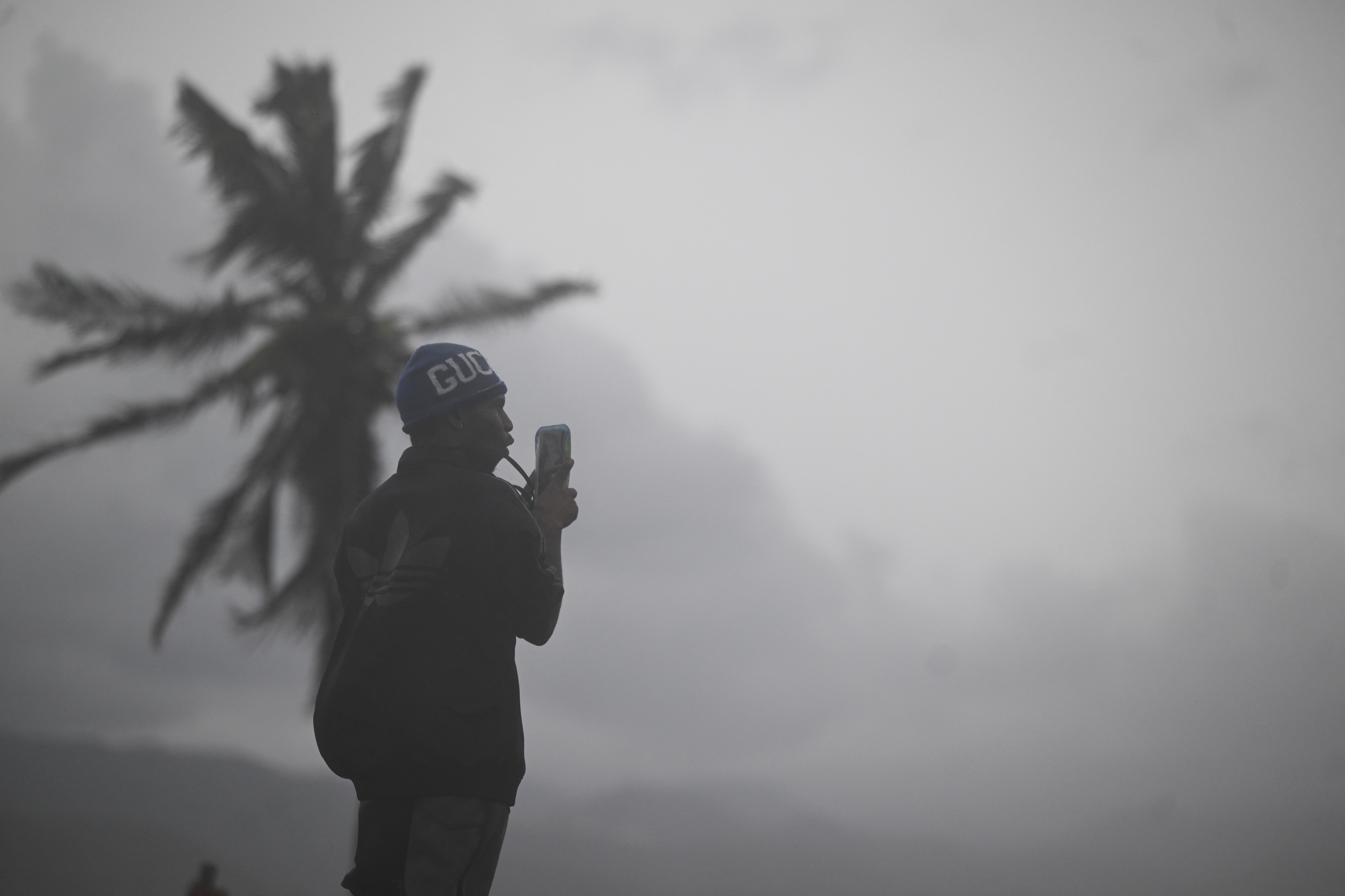
The most powerful Atlantic hurricane of 2025 is nearing landfall in Jamaica, with the Category 5 storm eye approaching the Southwestern coast of the island first.
As Hurricane Melissa approached the island on Monday evening, conditions quickly deteriorated and though many braced and prepared for the story, mandatory evacuations were issued in many areas such as Kingston, Clarendon, and St. Andrew due to extreme flooding and storm surge conditions.
Massive damage from Hurricane Melissa is expected to hit Tuesday afternoon as the storm passes through, with homes and infrastructure in danger of being ripped apart and power lines being cut as winds had already reached a speed of 180 mph on Tuesday morning.
Torrential rain and strong winds are poised to cause life-threatening conditions in the area, the likes of which Jamaica hasn’t seen in decades.
“People in Jamaica have not experienced a direct strike from a major hurricane in nearly 40 years,” AccuWeather Chief Meteorologist Jonathan Porter said. “Hurricane Gilbert made landfall in 1988 as a Category 3 storm, moving much faster than Melissa.”
The National Hurricane Service advised any remaining homeowners and residents to shelter in place as the eye made it’s approach in their live coverage.
“Do not leave your shelter as the eye passes over, as winds will quickly, and rapidly increase on the other side of the eye,” the NHS posted on its most recent bulletin. “Residents should remain in place through the passage of these life-threatening conditions. To protect yourself from wind, the best thing you can do is put as many walls as possible between you and the outside. An interior room without windows, ideally one where you can also avoid falling trees, is the safest place you can be in a building. You can cover yourself with a mattress and wear a helmet for added protection.”
Hurricane Melissa makes landfall
According to AccuWeather, Melissa intensified into a Category 5 hurricane on Monday, becoming the third storm of the year to be classified at the top of the Saffir-Simpson Hurricane Wind Scale, joining Erin and Humberto from earlier this year.
On Monday night, Melissa’s pressure dropped to 26.34 inches of mercury (892 millibars), making it the third-most intense Caribbean hurricane ever observed, according to AccuWeather.
Part of the reason the storm has become so intense is that Hurricane Melissa has been slowly spinning on it’s approach to the south of Jamaica, creeping over the warm waters of the Caribbean.
“The significant danger posed by Melissa is made even worse due to its record slow forward speed. An exclusive AccuWeather analysis of hurricanes since 1971 in the same area of the Caribbean as Melissa shows that Melissa’s average forward speed so far in this region is just 4.6 mph, which is the slowest on record,” AccuWeather Senior Director of Forecast Operations Dan DePodwin explained.
The storm’s peak intensity surpassed that of Hurricane Katrina in 2005 on Monday evening, when the minimum central pressure of the storm hit 909 millibars, according to the National Hurricane Center. Hurricane Katrina’s lowest pressure was 902 mb. As of early Tuesday, Melissa stands at 901 millibars.


The toll on Jamaica and where Melissa is heading next
Before the storm even made landfall, the island suffered casualties.
“I’m very sad to say that over the past few days in preparation of the storm, we’ve had three deaths,” Jamaica’s Minister of Health and Wellness Dr. the Hon. Chrisopher Tufton, MP, said. “Three deaths linked to cutting down of trees. And in one instance, electrocution because of or due to the cutting down of a tree.”
The hope is that evacuations will help save as many lives as possible, but the surrounding homes and buildings are at extreme risk of being decimated in the storm.
“There is no infrastructure in the region that can withstand a Category 5,” Prime Minister Andrew Holness said, according to The Associated Press. “The question now is the speed of recovery. That’s the challenge.”
Once the storm has passed over Jamaica, however, Melissa is forecast to strike eastern Cuba and parts of the Bahamas. As of now, it’s unlikely that the storm will make landfall in the U.S., but it does have the potential to impact Bermuda, Atlantic Canada, and Europe.
In fact, extreme weather currently conditions over Florida is actually helping to steer Melissa off toward the Northeast into the Atlantic and away from the U.S., said David Roth, a meteorologist with the National Weather Service’s Weather Prediction Center, in an interview with USA Today. On Monday, as Melissa made its approach toward Jamaica, the Southeast was hit with heavy rain that resulted in anywhere from 16-19 inches of water flooding areas in Central Florida.
This system will now travel north along the East Coast throughout the week, bringing excessive rain to states like New Jersey and Maryland by Halloween—but nothing compared to the rainfall associated with Melissa.

